Photographic frenzy!

A collection of 100 maps documenting geotags has revealed that the most photographed spot in the CBD is the intersection of Swanston and Flinders streets.
The collection is called The Geotaggers World Atlas and includes maps of cities from all over the world. The album is displayed on photo sharing website, Flickr.
The maps are ordered by the total number of photos taken in the centre of each city. Melbourne took out the 29th place.
Each map is to the same scale of a square measuring just over 24km each side.
Locations were determined through the public Flickr and Picasa search functions.
Southbank was also documented as a highly photographed spot on the map.
Where is your favourite CBD spot to photograph?
Let us know at [email protected]
Related Articles

State government scraps plans for safe injecting room in CBD
The state government has rejected a proposal for a supervised injecting room in the CBD, instead announcing plans for a new community health hub in Flinders St.
Read More
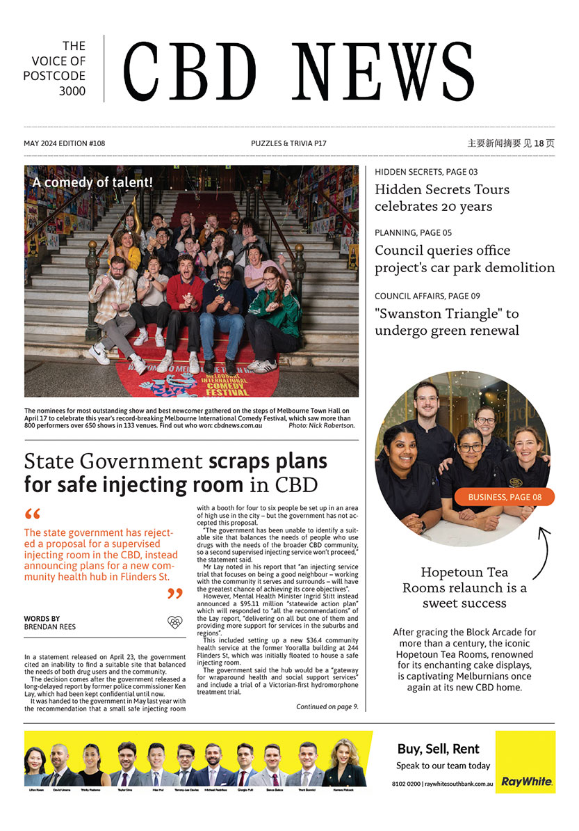
A comedy of talent!
The nominees for most outstanding show and best newcomer gathered on the steps of Melbourne Town Hall on April 17 to celebrate this year's record-breaking Melbourne International Comedy Festival, which saw more than 800 performers over 650 shows in 133 venues.
Read More
Police investigate Melbourne CBD assault
Melbourne Crime Investigation Unit detectives are investigating an assault in Melbourne’s CBD on Sunday, March 24.
Read More
Council endorses office tower at Flinders Lane despite querying car park demolition
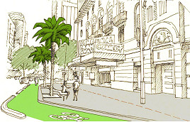
Residents unhappy about “unsightly” palm trees proposed for Exhibition St
 Download the Latest Edition